


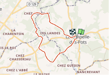

7,2 km | 8,5 km-effort


Utilisateur


Application GPS de randonnée GRATUITE
 SityTrail
IGN / Instituts géographiques
SityTrail World
Le monde est à vous
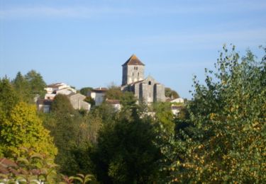
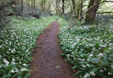
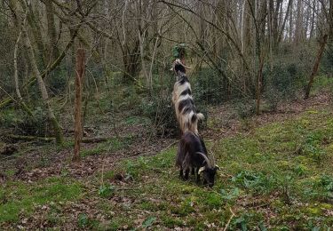
Randonnée Marche de 7,4 km à découvrir à Nouvelle-Aquitaine, Charente-Maritime, La Chapelle-des-Pots. Cette randonnée est proposée par Claudinette17.

Cheval

Marche
Marche
V.T.T.

V.T.T.

Marche
Marche
Marche
Marche